Go Exploring
Take a look
You can search locations by
Why Trace That Place?
 What does that name mean?

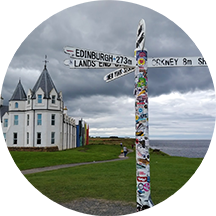
 Are we nearly there yet?
 Which way are we going?
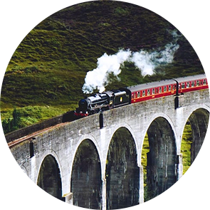
 Let's listen

 About the site
This site explains the origins of the place-names on the signs people see as they travel along the main roads and railway lines of Britain.
There are around 5000 numbered roads in the UK, with the prefix M, A, or B. One day, this site may be able to include them all. To launch the website, I've surveyed the main motorways and a selection of touristy A-class roads, and made a partial survey of quite a large number of other A and B roads. There are 7250 place-names included so far.
These entries include names on road-signs of cities, towns, villages, counties, rivers (that the roads cross), motorway service stations, roundabouts, and signposted industrial, tourist, and heritage sites, many of which are never mentioned in place-name books because those focus on larger places and major landscape features. For me, if a name appears on a brown sign, and it's not self-explanatory, it's in. That's what makes this site different from other sources on place-names: each name is located with reference to a road-sign - for example, the sign for Hatfield in Hertfordshire can be seen on the M1, A1, A414, and A1000.
The site also includes the names of the 2500+ railway stations in Britain, as well as the heritage railways in Wales.
 Roads surveyed so far
For the launch of Trace That Place, I've 'travelled' (usually using Google Street View) along 22 motorways and 42 A roads in Britain - in both directions (as the signs going each way are not always the same) - and included all the place-names encountered.
In addition, when a name has been added, I include other A and B roads if they pass through or by that place, and where its name would also be seen on their signs. A further 4789 road numbers have been partially surveyed in this way.
 Organisations, want to be included?
If you're an organisation that has nation-wide locations, we could add your logo to the Trace That Place home page. When users click on your logo, they would see your locations in a single list and on a map, with links to the place-name entry and to any associated website. If this is of interest, let us know using CONTACT form, and we can discuss a way forward.
 How to use the site
You can use the map to home in on a particular part of the country and a specific place. Places are clustered, so that as you zoom in to the country you can see how many names have been added to date in any one area.
You can search By road-name to find the place-names shown on a particular road. This includes any places that have railway stations. A drop-down menu shows the roads that have been surveyed to date, either in whole or in part. Type the number of the road you want into the search box, or scroll down to find it. An alphabetical list of the names on the signs will appear, and these can be seen on an associated map.
Having all the names on a road available can also be helpful if you pass a sign and don't remember how it was spelled. If you recall the first few letters, the name will autocomplete: for instance, if it was Dwygyfylchi on the A55, D-W-Y will find it. You might also see it still on your satnav, but that's not guaranteed. However, it will be in the list of names on the road you're travelling along.
Use By area to find the road-sign names surveyed so far in a particular administrative area, such as Cornwall, London, Wrexham.
 Railway stations
 The global future
Other parts of the world could be included using the Trace That Place technology. There are already place-name surveys in many countries, and these could be adapted in the same way as in this current project. If you are interested in licensing the TTP technology, let us know.
 Search results
Entries begin with the place-name, its area, and its pronunciation, using a re-spelling system that I hope is easy to interpret, but explained in the Pronunciation key. The transcription is there to help you to pronouncer a name, especially if you're reporting a name to others. To hear the name, click on the audio button. If a place has names in two languages - Welsh, Gaelic or Cornish alongside English - both are shown, with translation if needed.
Next is a short explanation of the etymology. Click on Listen if you want to hear the story read aloud. The audio version is based on the written text, with a few variations for ease of listening. Details of historical spelling changes aren't included in the audio version.
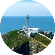
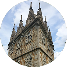
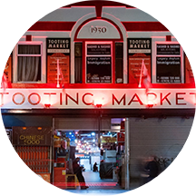
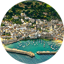
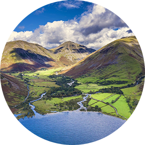
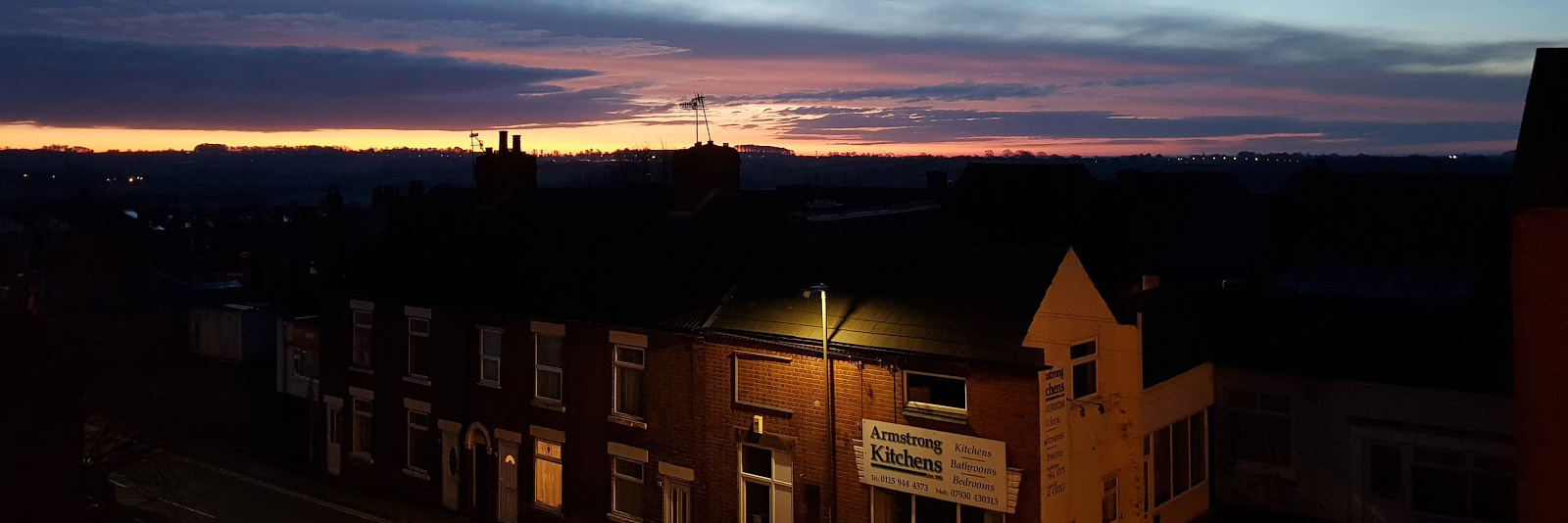
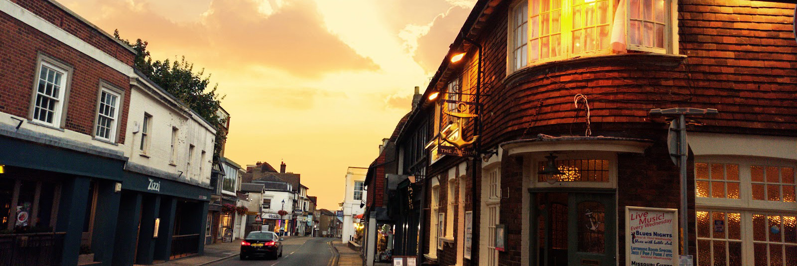
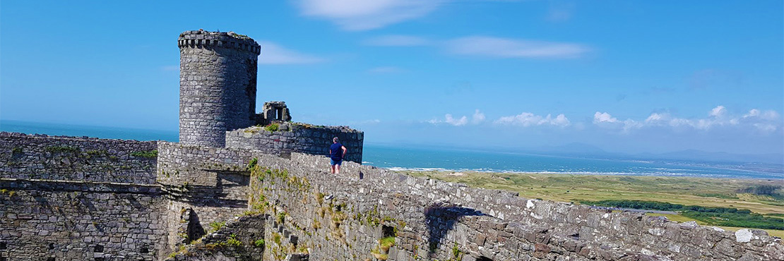
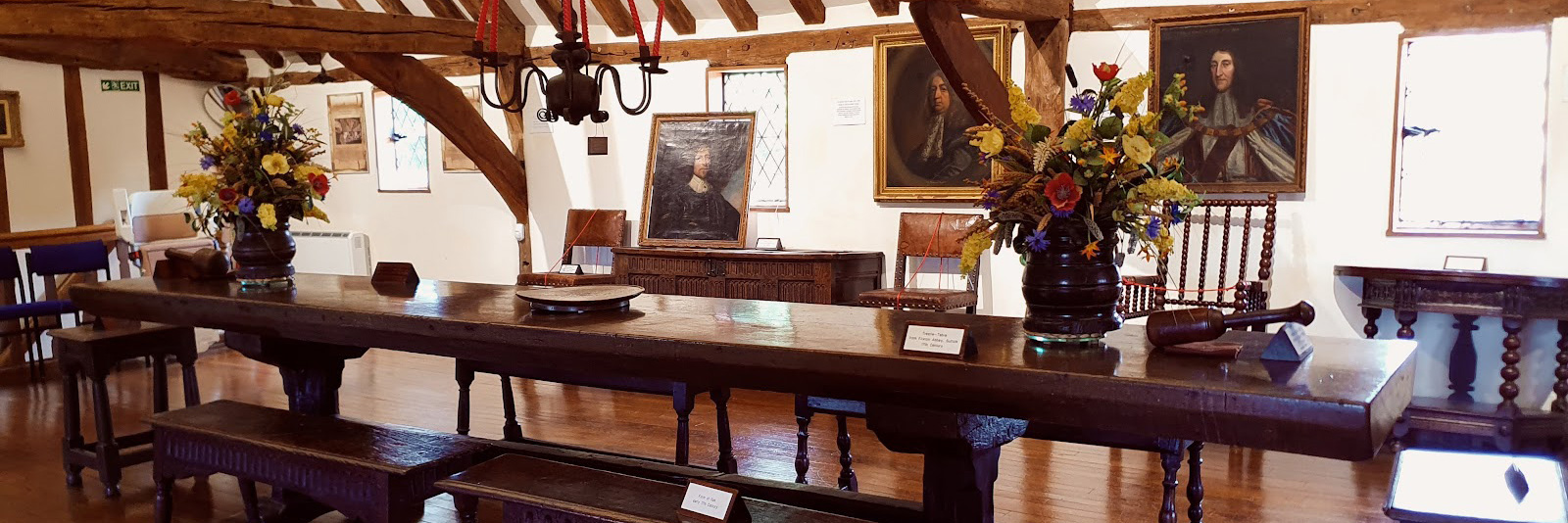
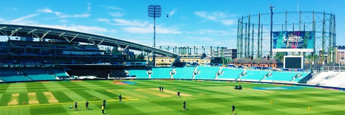
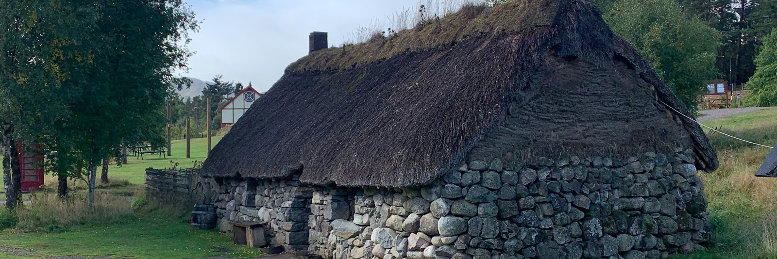
There's an associated set of photographs of each place and its nearby area, directly populated from Google Maps.
 Where does the information come from?
A project of this kind would not have been possible without the huge amount of research into the history of place-names, especially carried out by the English Place-Name Society, founded in 1923.
This is the essential go-to source for published information about names in England, with over 90 county-by-county surveys now published. Anyone seriously interested in names - personal as well as place - needs to be aware of the Institute for Name-Studies at the University of Nottingham. If a name in England does not appear on my site you will very likely find it using the search facility at the Institute. You'll also find more detailed information than I'm able to show in my short entries. For other parts of the UK - Wales, Scotland, Northern Ireland - there are several sources of information on the Oxford University Press page on British Place Names.
- Eilert Ekwall, The Concise Oxford Dictionary of English Place Names. Oxford: Clarendon Press, 4th edn 1960.
- John Field, Place Names of Great Britain and Ireland. Newton Abbot: David and Charles, 1980.
- Klaus Forster, A Pronouncing Dictionary of English Place-Names Including Standard Local and Archaic Variants. London: Routledge & Kegan Paul, 1981.
- A D Mills, A Dictionary of English Place Names. Oxford: Oxford University Press, 1991/2011.
- A D Mills, A Dictionary of London Place Names. Oxford: Oxford University Press, 2010, 2nd edn.
- Caroline Taggart, The Book of London Place Names. London: Ebury, 2012.
- Iain Taylor, Place-Names of Scotland. Edinburgh: Birlinn, 1988.
- Victor Watts, The Cambridge Dictionary of English Place-Names. Cambridge: Cambridge University Press, 2004.
- Craig Weatherhill, Place Names in Cornwall and Scilly. Launceston: Wessex Books, 2005.
- Hywel Wyn Owen and Richard Morgan, Dictionary of the Place-Names of Wales. Llandysul: Gomer, 2008.
These sources provide no information about names related to road-signs. But how to find the signs? There is only one way of proceeding: drive along the road (in both directions, for the signs on one side are not always the same as those on the other) and note down the names as they occur. Fortunately, the recording has already been done for all numbered roads by the amazing Google Street View project, and we (myself and Hilary) have been retracing them over time. The view isn’t perfect: sometimes a sign is obscured by a passing truck, and of course it's always possible that a sign may since have been added or removed. But having checked a couple of roads out by comparing a real-life drive with a virtual one, the results seem to be robust. And any missing names can always be added later. The names of all British railway stations are available in several listings, such as: